Digital Imaging Camera/SDK
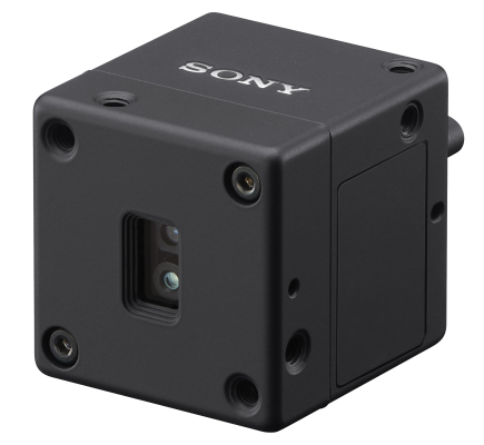
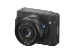
Sony Alpha camera supported by Sony SDK (Software Development Kit)
Sony Alpha camera supported by Sony SDK (Software Development Kit)
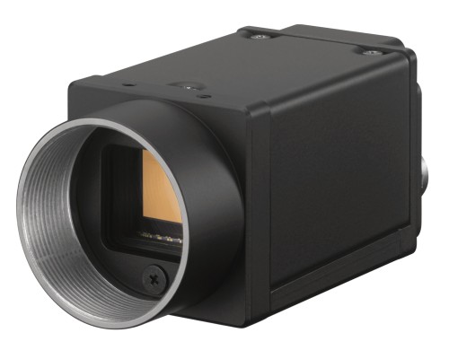
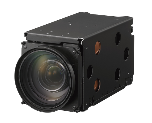
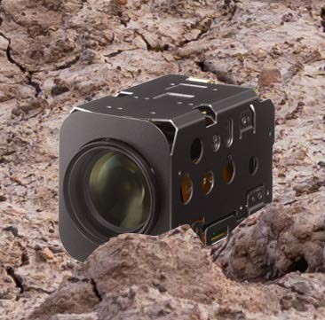
Digital Video Camera using various interfaces (USB, Gigabit Ethernet, Camera link)
Drones have become a reliable and versatile tool for mapping, surveying, and inspection activities across various industrial sectors. This proliferation has been driven by the availability of rugged and ultra-lightweight imaging systems such as interchangeable lens cameras, which have allowed organizations in industries such as power and utilities to monitor assets remotely – saving time and money and reducing safety risks.
As the capability of drones has increased, so has the scope of their application too. Many companies and organizations now use drones to gather large amounts of data over vast geographic areas, streamlining operations and boosting efficiencies.
So, drones have become invaluable and economical ‘flying sensors’ in a data-driven world. Here, we highlight five top industry applications for drones with image-sensing capabilities, providing use cases highlighting their adaptability.
1 Mapping and Surveying:
Drones are commonly used for 3D mapping, land surveys, photogrammetry, and topographic surveying, being equipped to provide a simple or very accurate diagrammatic representation of a given area to study or measure parameters such as altitudes, angles, and distances. There are numerous benefits of such approaches related to saving time and money, providing high-accuracy data and the ability to map inaccessible places safely and securely. Photogrammetry, in particular, offers high accuracy, 3D models that are true to the real world (digital twins), with low set-up and operation costs. The most common measurement method uses multiple still images from the drone, shifting the shooting points little by little and linking them together to the drone's GPS and posture at the time of shooting (geo tagging ). Then, triangulation makes it possible to generate point cloud data from feature points. This method supports high-resolution imagery for capturing a large area at a time.
2 Inspection:
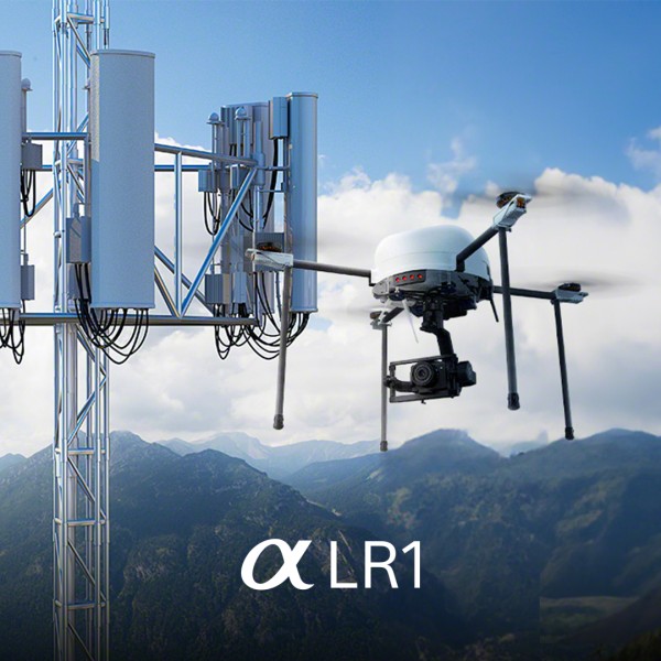
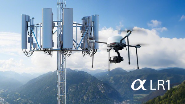
Here, drones are used to examine a given object to find faults, errors, cracks, dents, malfunctions or other phenomena that might affect its functioning. Power and utility companies, for example, often use drones to inspect cell towers and wind turbines. High-resolution cameras can capture even the smallest details with various lenses/tele-zoom options. This approach is incredibly valuable to operators, as it removes the need to erect scaffolding or to use rope structures. As with mapping and surveying, this saves time and money and keeps maintenance workers from potentially dangerous situations not only in critical infrastructure. Meanwhile, for power line inspection, vision system-equipped drones allow long lengths of cables to be inspected over relatively short periods of time.
3 Agriculture:
Food shortages and security concerns have ushered in an era of precision agriculture, where modern technologies increase crop yield. Drones offer numerous advantages over traditional field measurement techniques, as they are faster, more flexible, and can map more extensive areas. Drones fitted with image sensing equipment bring additional value compared to satellites or manned aerial photography, as they can be flown at lower altitudes and in a wider range of weather conditions, with lower costs. It is not surprising, then, to find agriculture as the top industry application. Image-sensing-equipped drones analyze whether crops are fresh, dry, or showing signs of disease. They can also be deployed for water flow mapping, erosion and soil loss, and weed monitoring. In short, image-sensing-equipped drones are a critical supporting technology for the future of intelligent agriculture.
4 Construction:
The benefits of using drones in the construction industry can be seen along the lifecycle of a new development. For earthwork and grading monitoring, high-resolution cameras and other advanced sensors are used to boost the speed and efficiency of terrain measurement, which previously was performed manually and could be prone to human error. In quality control and progress monitoring, drones are increasingly deployed for crack and corrosion inspection and highlighting surface imperfections. Site managers also use them to plot activity completion against timelines, track materials, indicate bottlenecks or schedule lapses, or confirm completion standards to minimize rework and avoid long term closure of access routes of the object of interest. For safety, high-quality imagery can be utilized to identify unsafe conditions or working practices, including failure to use the correct PPE. Finally, maintenance has emerged as another use case, with drones being deployed to scan for issues related to structural integrity – with images used to track deterioration over time.
5 Warehousing:
The emergence of e-commerce globally means that today’s modern warehouses can be gigantic – sometimes up to several million square feet. Implementing advanced robotics has enhanced operations in these vast spaces, with robots being used for transportation and picking and placing from racks and shelves. Now, drones are also emerging as a tool for effective warehouse management, particularly for tasks like inventory counting with image-sensing-equipped machines that take pictures of items stored on shelves. They can also be used to check the quality and condition of stored items, which would otherwise require individuals to climb ladders and work - sometimes dangerously - at height. There is a safety and efficiency benefit here, with workers deployed to other more value-added activities around the warehouse.
Sources:
https://www.gim-international.com/content/article/uav-remote-sensing-for-smart-agriculture
https://www.mdpi.com/2504-446X/7/8/515
https://www.gep.com/blog/technology/how-drones-can-transform-warehouse-and-inventory-management
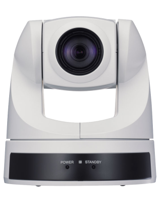
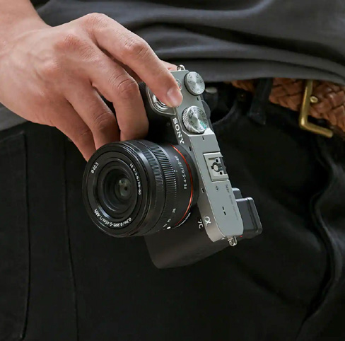
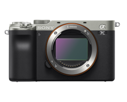
The new 35 mm Full-Frame image sensor camera offers High Resolution imagery with a compact body, remote operation and is compatible with the Sony Camera Remote SDK (Software Development Kit)